









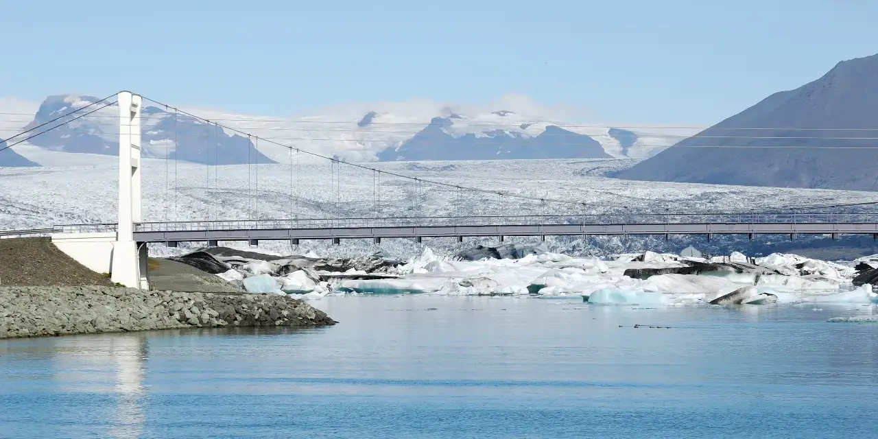
Icebergs the size of buildings drift silently across a lake that didn’t exist when your grandparents were born. Jökulsárlón — the glacier lagoon at the edge of Europe’s largest ice cap — is the single most concentrated dose of “land of fire and ice” on the island, and it comes with a beach where the ice washes ashore like diamonds on black volcanic sand. Our team has been here in every season: the amber midnight-sun evenings of July, the storm-tossed grey of November and the blue-hour aurora nights of February. This guide collects everything we wish we had known before the first visit — how the lagoon works, whether the boat tour is worth it, the sneaker-wave rules that keep Diamond Beach safe, and the timing tricks that separate a rushed photo stop from the best half-day of your Ring Road trip.
Conclusiones clave
- Free to visit, paid to float: the lagoon, shoreline and Diamond Beach cost nothing — boat tours (amphibian or zodiac) are the only ticketed extra, running in the warmer months.
- Young but ancient: the lagoon only formed in the 1930s as Breiðamerkurjökull retreated, yet the icebergs themselves calved from snow that fell up to 1,000+ years ago.
- It’s Iceland’s deepest lake — over 240 metres of cold, milky water beneath the bergs.
- Distance is the whole game: about 379 km from Reykjavik, roughly a five-hour drive — most travelers pair it with a South Coast overnight.
- Diamond Beach is 30 seconds away — and its waves are the one genuinely dangerous thing here. Stay behind the berm.
Respuesta rápida: if you have limited time, do the shoreline + Diamond Beach loop (free, takes 45–60 minutes) and only book a boat tour if you have a slack weather window. If you have a full day, add the short walk to Fjallsárlón, the quieter lagoon next door, and let the aurora forecast decide whether you linger after dark.
Why the lagoon exists (and keeps changing)
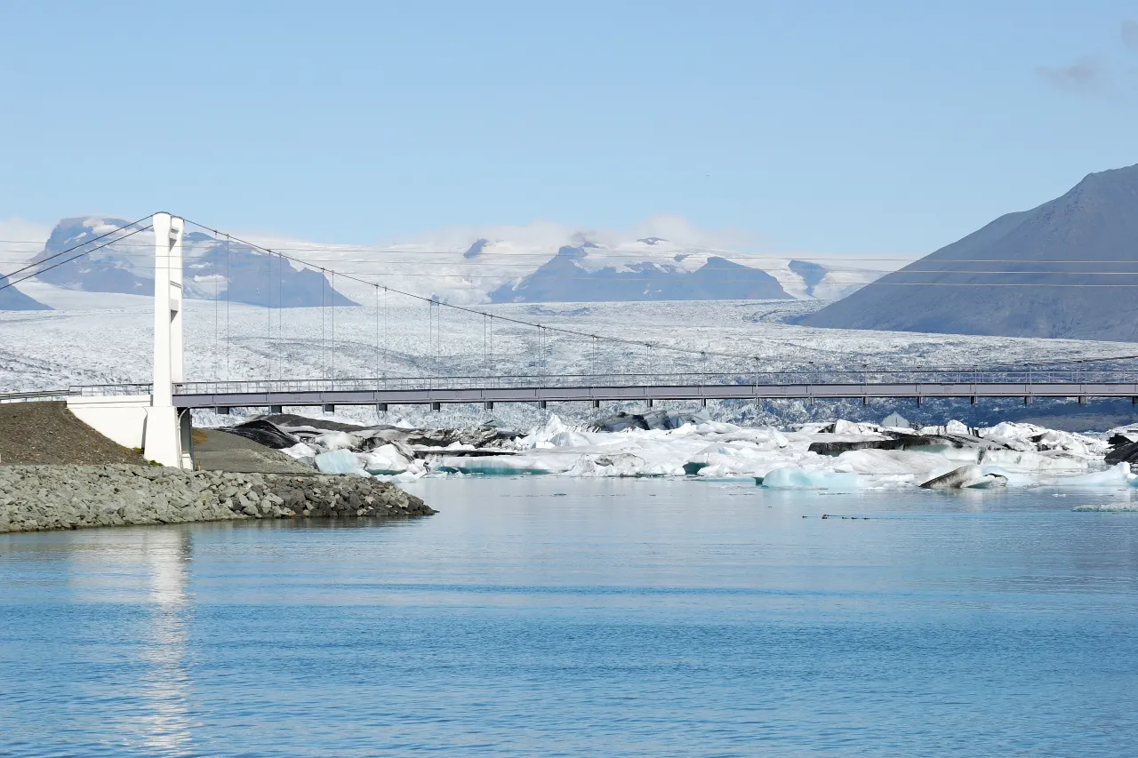
Jökulsárlón is a newborn with ancient bones. Until the 1930s, the Breiðamerkurjökull glacier tongue ran almost to the sea; as it retreated, meltwater filled the depression and the Atlantic pushed in through the short river channel, creating a tidal lagoon dotted with calved icebergs. Every berg you see broke off the glacier face, spends days to years drifting across the lagoon (some shrink into 4×4-sized lumps, others tower above the tour boats), then squeezes under the Ring Road bridge and out to sea — where the tide throws a good share of them right back onto black sand.
The lagoon is also a yardstick for climate: it has grown from a meltwater pond into a several-kilometre-wide basin in under a century, now covering roughly 18 km² and reaching depths of over 240 metres — the deepest lake in Iceland. That constant motion is why no two visits look the same, and why photographers return again and again: the ice field you see today will have drifted, flipped and melted by next week.
Vale la pena saber: the water is genuinely milky — fine glacial flour ground by the ice suspends in it, scattering light. On calm mornings the lagoon turns pale turquoise; after storms it goes steely grey. Neither is “better”: plan your photos around what the weather is doing that day.
Getting there & parking
The lagoon sits directly on the Ring Road (Route 1) between Höfn and Skaftafell — you literally drive across the outlet bridge to reach it. From Reykjavik count roughly 379 km / 5 hours; from Vík about 2 hours 15 minutes; from Höfn under an hour. Watch for the sudden “wow” moment about 30 km before the lagoon: the Vestrahorn rises out of its mirror-flat tidal plain at Stokksnes — worth its own detour on a clear day.
- Parking (paid, both lots): a main lot on the west shore by the visitor facilities, and a smaller lot on the east side beside the beach — both charge a day-rate fee paid at machines or via app (card-friendly). Keep the ticket: it usually covers both areas.
- Instalaciones: toilets, a café/food kiosk (seasonal hours) and a small gift shop at the main lot. Fuel up in Höfn or Kirkjubæjarklaustur — stations are sparse.
- Winter access: the road stays ploughed most days, but storm closures happen. Check road.is the night before and again at breakfast; add buffer hours in November–February.
Boat tours: amphibian vs zodiac
Two operators run lagoon cruises from the main dock in the warmer months, and the choice is simpler than the marketing suggests:
| Tour type | Best for | What to expect |
|---|---|---|
| Amphibian boat | Families, first-timers, calm-day comfort | Land-sea vehicle boards from the dock, ~30–40 minutes among the bergs, guide commentary, dry seating, lifejackets provided |
| Zodiac speedboat | Photographers, thrill-seekers | Small inflatable gets close to the glacier face, more spray (dress accordingly), longer exposure to wind — book the earliest slot for the calmest water |
Book ahead in July–August (sells out on fine days), and treat tour bookings like everything weather-dependent in Iceland: flexible. Tours pause when wind or ice conditions make the lagoon unsafe — rebooking or refunds are the operators’ standard answer, so don’t build a day that dies if a cruise is cancelled.
From real trips: the amphibian ride is gentler and drier; the zodiac gets you the close-ups. Kids who hate spray love the amphibian, and photographers who skip the zodiac usually regret it — the glacier-face scale is impossible to feel from shore. Either way, the shore walk between the two lots is free and stunning; the boats are the upgrade, not the entry ticket.
Diamond Beach — and the sneaker-wave rules
Cross the bridge to the east lot and you land on Breiðamerkursandur — the black-sand beach where outgoing icebergs wash ashore. On a bright morning the ice glints like cut glass (hence the nickname Diamond Beach); at sunset the bergs backlight in gold; in winter they cluster in frozen rows like a sculpture park.
The beach is also the site of the country’s most serious sneaker-wave hazard. Waves here come in sets: calm stretches lull visitors close to the waterline, then a single surge runs metres up the sand — several visitors have been swept into the surf over the years, some fatally. The rules are non-negotiable:
- Stay behind the berm — the ridge of sand between you and the water is the line. Photos are just as good from there.
- Never turn your back on the ocean, even on glassy days; waves travel in sets and the calm ones come first.
- Children hold hands the entire visit; the sand funnels waves unpredictably.
- Heed the traffic-light sign at the beach entrance — red means conditions are actively dangerous.
Seals, birds & winter surprises
Harbour seals haul out on the ice year-round — summer gives the best sightings (more bergs to lounge on, longer days), and even from the bridge you’ll often spot dark shapes sliding off floes. Eider ducks, Arctic terns (leave nesting birds well alone) and the occasional gannet work the channel. In winter the wildlife tally drops but the surprises rise: the lagoon freezes at its edges, snow sculpts the stranded bergs, and on clear nights the aurora does its thing directly over the water — one of the few places on the island where you can shoot green ribbons and blue ice in a single frame.
When to visit
Summer (June–August): boat tours at full frequency, seals everywhere, the midnight sun keeps the lagoon lit past 22:00 — the classic version of the trip. Expect crowds at midday; arrive before 10:00 or after 18:00 for calmer shores.
Winter (November–March): no boats in the coldest stretch, but the ice-cave season opens across Vatnajökull and the lagoon becomes a blue-hour aurora stage. Storm days can shut the Ring Road — always leave a slack day. Shoulders (April–May, September–October): the sweet spot — tour season bookends, thin crowds, active light.
Photography notes
Two viewpoints carry the day: the bridge (wide lagoon panorama, bergs threading the channel) and the shoreline by the main lot (close bergs with the glacier behind). For Diamond Beach, the classic frames are long-exposure surf against grounded ice — a tripod and 6-stop filter earn their weight here. Aurora nights: shoot from the west-shore side to include the lagoon; keep exposure under ~8 seconds to hold berg detail. The water eats warmth — waterproof boots matter more than a big coat.
Frequently asked questions
Is Jökulsárlón worth the drive from Reykjavik?
As a day trip it’s a lot of driving (about ten hours round trip) for a short stop. It earns its place as an overnight: pair the lagoon with Skaftafell, Fjaðrárgljúfur and the South Coast waterfalls on a two-day loop, or make it the eastern anchor of a full Ring Road itinerary.
Do I need to book boat tours in advance?
In July–August, yes — fine-day slots sell out. Shoulder-season demand is softer and walk-up tickets are usually available. All tours are weather-dependent; a cancelled cruise is a normal Iceland outcome, not a disaster, so keep plans flexible.
Can you walk on Diamond Beach ice?
You can walk around the grounded ice on the sand — but don’t climb on it. Bergs roll without warning, ice caves melt through, and the same sneaker-wave rules that guard the shoreline apply to anything near the waterline.
What’s the difference between Jökulsárlón and Fjallsárlón?
Fjallsárlón, 10 minutes west, is the smaller, quieter sister lagoon — fewer bergs, no big-boat tours, and a tighter glacier face that feels closer. Visit both: Jökulsárlón for scale and the beach, Fjallsárlón for the intimate glacier shot without crowds.
Is the lagoon safe for kids?
The shore paths and main lots are stroller-friendly and safe with normal supervision. Diamond Beach demands the hand-holding rules above, and boat tours run minimum-age or minimum-size rules for the zodiac — check when booking if traveling with small children.
Plan the lagoon into a real itinerary
The lagoon is the eastern jewel of the South Coast — our full Ring Road and season guides show exactly where it fits.
While you’re in the area: walk behind Seljalandsfoss and Skógafoss on the way east (Seljalandsfoss guide, Skógafoss guide), shoot the basalt columns at Reynisfjara, and read our dedicated photography guide before you pack the tripod. Practical season-picking lives in the best-time guide, and the weather rules that decide your day are in our weather & wind guide.
Sources & official references
- Official Icelandic sources: safetravel.is (sneaker-wave and coastal safety guidance), road.is (Route 1 status), en.vedur.is (weather & aurora forecasts) — checked 2026.
- Trip.com Iceland destination guide (checked 2026): lagoon profile, Diamond Beach listing (rated 4.9/5 by travelers), recommended visit length and regional itineraries.
- Vatnajökull National Park visitor information: lagoon formation, depth (Iceland’s deepest lake) and protected-area rules; park inquiry line +354-5758400.
- Boat tour operator schedules and seasonal windows as published for 2025–2026; verify live availability when booking.
- Editorial visits across seasons 2024–2026 by the Iceland Travel Guides team.
