









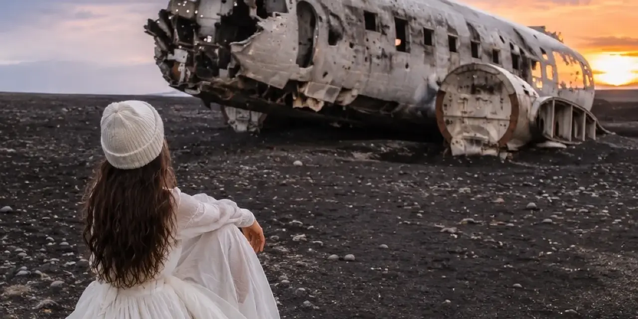
There are places in Iceland that photograph better than they feel, and places that feel better than they photograph. The DC-3 wreck on Sólheimasandur manages both: a stripped, silver-boned passenger plane abandoned on an ocean of flat black sand, reached only on foot across a landscape that offers no shade, no shelter and no shortcut. Our team has walked this route in June fog, February gales and September gold, and we still rate it as one of the south coast’s most memorable stops — provided you arrive with the right expectations about the walk, the wind and the crowds.
This guide covers the story of the 1973 forced landing, the practical mechanics of the visit (the parking lot, the access road, the ~4 km walk each way), the photography that made the wreck famous, and the honest question every south-coast itinerary has to answer: is this stop worth an hour of driving and two hours of walking when Skógafoss, Seljalandsfoss and Reynisfjara are all on the same stretch of road? Our short answer: yes — with the timing tricks below.

Key takeaways
- A 1973 forced landing, not a crash: the US Navy Douglas Super DC-3 came down on the sands on 24 November 1973; the crew all walked away, and the airframe was simply left where it stopped.
- The walk is the visit: roughly 4 km each way over flat sand — count on 45–60 minutes each way at a steady pace.
- Access is controlled: park at the marked lot (a parking fee applies); vehicles are not allowed on the sand itself, and the one-lane access road’s status and hours can change — check locally before you turn off.
- Nothing is provided: no shade, no facilities, no water. Bring layers, a windproof shell and what you need for a two-to-three-hour round trip.
- Timing is everything: go early morning for emptiness or golden hour for drama; the wreck is Instagram-famous, and midsummer midday is when that fame bites.
Quick answer: allow two to two-and-a-half hours door to door — walk out, spend 20–30 minutes with the wreck, walk back. Go before ten in the morning or in the last hours before sunset. Check the access road status locally on the day, dress for wind rather than cold, and skip it without regret if a gale is running: the wreck will still be there tomorrow.
The 1973 landing: how a Navy plane ended up on black sand
On 24 November 1973, a US Navy Douglas Super DC-3 was forced down onto the wide black sands of Sólheimasandur. The essential fact of the story is also the strangest: everyone aboard survived, walked away from the aircraft, and the Navy never retrieved the airframe. The plane has sat on the flats ever since — engineless, stripped of seats and fittings, its fuselage opened to the weather — slowly becoming one of the most photographed objects in Iceland.
Part of the wreck’s appeal is that nothing about it is curated. There is no fence, no platform, no gift shop framing the moment; you walk out across an empty horizon until the fuselage appears, a small silver monument sized against the sky. The surrounding sand is effectively a desert with weather, and the contrast between the intact-yet-hollowed aircraft and the sheer emptiness around it is what keeps photographers flying in from every continent. It is a story with a happy human ending, frozen in hardware.
Getting there: the parking lot, the road & the rules
The wreck lies on the south coast, south of Skógafoss, on the flat sands between the sea and the Ring Road. The turnoff from Route 1 leads down a one-lane access track to a marked parking area close to the road; from there, the only way in is on foot. The access road has historically operated with a gate and limited hours, and its status changes — treat any fixed timetable you read online as provisional and confirm on the day. When the track is closed, the walk simply starts from the Ring Road side and gets longer, so build buffer time.
- Parken: use the marked lot and pay the posted fee — never park on the verge or the access road.
- No vehicles on the sand: driving out to the wreck on the flats is not permitted; the walk is part of the deal.
- Einrichtungen: none at the lot or on the route — plan toilets and food around nearby stops such as Skógafoss.
- Road status: check road.is for the main route and confirm the access road locally on arrival; winter storms occasionally reshape the whole equation.
The walk & what you will find
The route itself is flat and honest: sand, more sand, and a horizon that seems to retreat as you approach it. Count on 45–60 minutes each way; the return always feels longer because there is no landmark but the road to walk toward. After rain, puddles and rutted patches appear, and the ground underfoot is looser than it looks — it is a boot-friendly stroll rather than a hike, but it is also not the ten-minute dash some social clips suggest.
Then the wreck appears, and the scale of the place lands at once. The fuselage is open along its length, and you can walk through and around it; light pours through the window frames and every angle rearranges the geometry. Two practical notes from our trips: first, the metal is sharp and the wind here has opinions — watch hands, hats and tripod legs. Second, the emptiness around the wreck is the real subject; the photographs that work are the ones that let the sand breathe around the aircraft rather than fill the frame with it.
Light, wind & camera notes
Two light regimes work here. Overcast is the even-light option: the fuselage reads as a clean graphic object against the sand, and skin tones stay soft. Golden hour is the drama option: long shadows rake the ripples, and the silver skin catches amber light that feels almost tropical — the fastest route to the classic shot. Early morning combines both virtues with emptiness; on summer mornings the light arrives slowly and the tour buses arrive late, and that gap is the best hour this site offers.
Drones are subject to the standard national rules — maximum 120 metres altitude, line of sight maintained, and 150 metres clear of public buildings — and there is no national-park permit regime at this site. What there is, reliably, is wind. Flying here is a full-attention exercise: sand abrasion, gusts on takeoff and landing, and nothing to shield the aircraft. Many photographers choose to leave the drone in the car; the ground-level compositions are honestly the stronger ones anyway. Our 20-spot photography guide places the wreck in the wider south-coast shooting plan.
Weather, comfort & safety
The wreck’s greatest hazard is also its most underestimated: wind exposure. The flats funnel every gust across an unbroken fetch, temperatures drop sharply with any breeze, and after an hour of walking you are colder than the forecast implied. A windproof shell, warm mid-layers, gloves and water are the non-negotiable kit; in genuinely foul conditions the site becomes miserable fast, and the smart move is to reschedule rather than endure.
Follow the standard Iceland discipline: check the forecast on en.vedur.is and the road status on road.is before you commit, leave your plans on safetravel.is if you are traveling solo or in winter, and keep the emergency number 112 and the 112 Iceland app in mind for anything that goes wrong out on the flats. Cell coverage is generally workable along the route, but self-rescue logic still applies — this is one of the few south-coast stops where you can feel properly far from help while still hearing the traffic on the Ring Road.
Pairing the wreck with the South Coast
The wreck sits in the middle of the south coast’s greatest hits, which is both its advantage and its trap — a visit consumes two-plus hours that the waterfalls also want. Our tested sequencing for a strong weather day: Seljalandsfoss early, the wreck walk late morning into lunch, Skógafoss mid-afternoon, Reynisfjara for the evening light. On a short day, treat the wreck as either the morning anchor or the sunset anchor, not both.
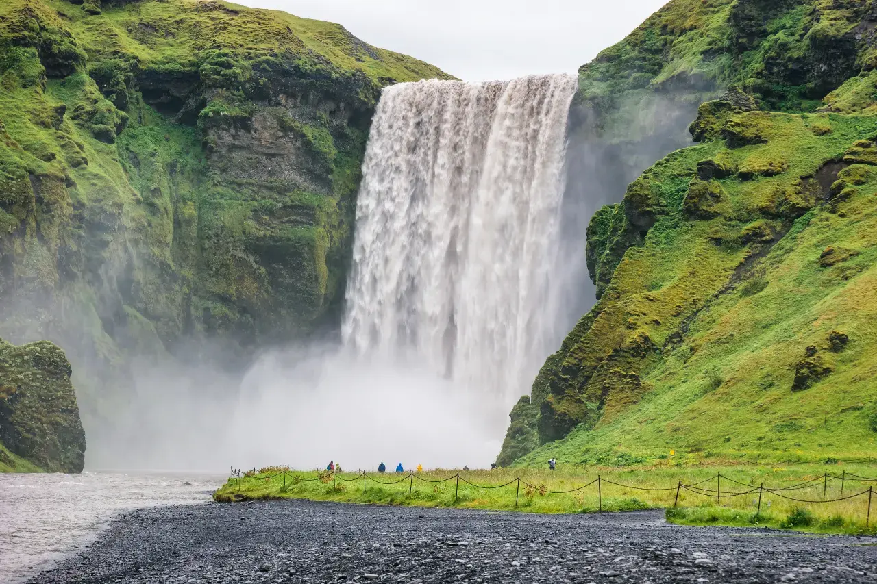
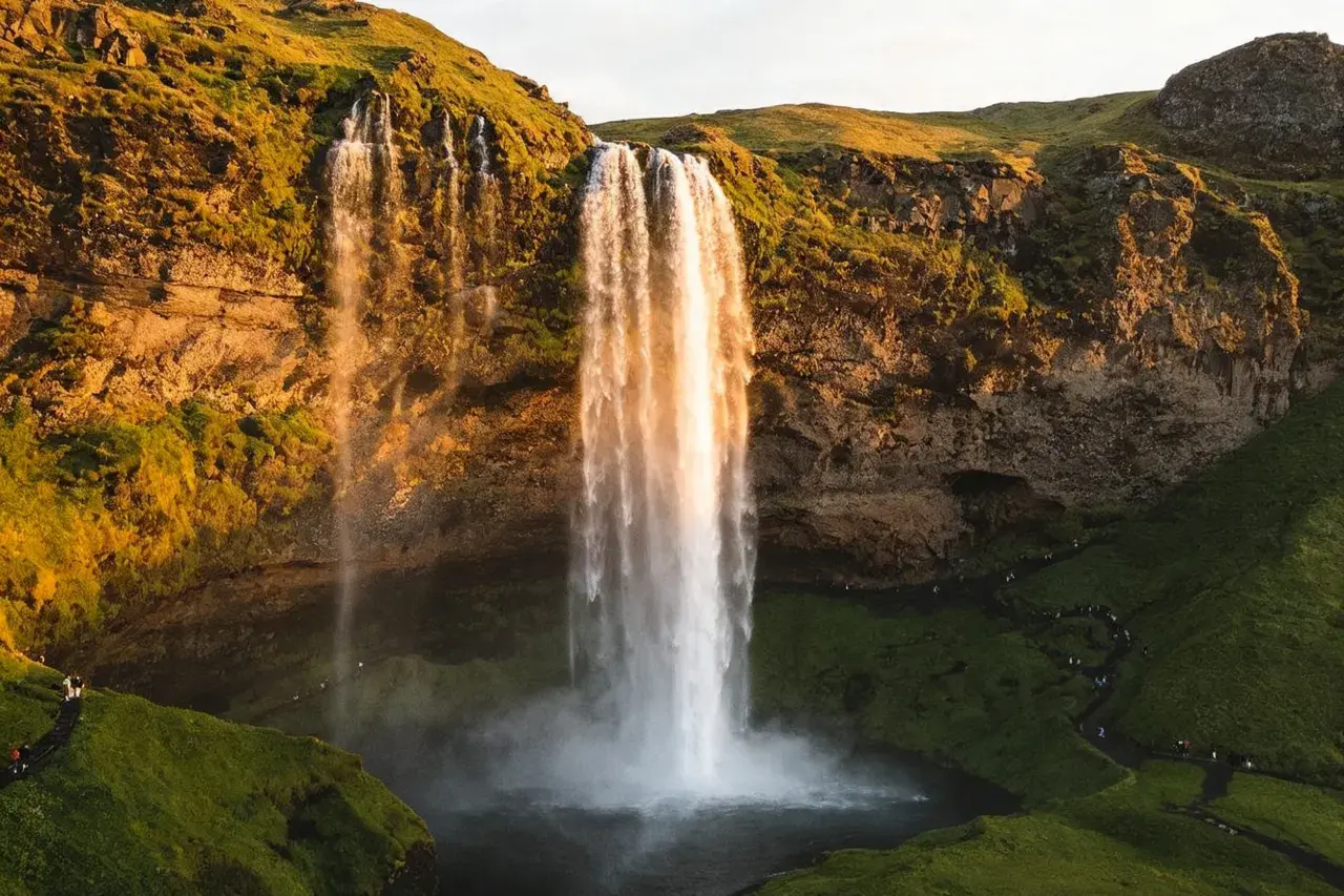
If the black-sand aesthetic hooks you, keep going east: the basalt amphitheater of Reynisfjara is the coastline’s other masterpiece, and its sneaker-wave rules deserve your full attention before you step anywhere near the waterline.
Frequently asked questions
Is the Sólheimasandur plane wreck free to visit?
The site itself is free — there is no ticket and no gate on the sand. The parking area charges a fee, and the access road’s hours can change, so the cost of the visit is really your time: around two to two-and-a-half hours including the walk each way.
Can you drive to the wreck?
No. Vehicles are not allowed on the sand, and the one-lane access track serves the parking lot only — its gate and hours have varied over time, so confirm the status locally on the day. Everyone reaches the wreck the same way: on foot, across roughly 4 km of flat black sand.
How long does the visit take?
Plan on 45–60 minutes each way plus 20–30 minutes at the wreck — a bit over two hours total for most walkers, longer in deep sand after rain or with a headwind on the return. Add buffer time in winter when daylight is short.
Is it worth visiting in bad weather?
Overcast is genuinely good — even light flatters the fuselage and the crowds thin out. Gales are a different story: the flats are brutally exposed, photography turns miserable and the walk doubles in effort. Our honest advice is to trade the stop for a waterfall day and come back when the wind drops.
Can I fly a drone at the wreck?
The national rules apply — 120 metres maximum altitude, line of sight at all times, 150 metres from public buildings — and this is not a national park, so no separate permit regime. But the wind here is severe and unbroken; many pilots regret taking off, and sand-abraded equipment is a real cost. Ground-level shots are usually better anyway.
Thread the wreck into the full route
The south coast rewards sequencing — our Ring Road guide shows where this stop belongs on a longer itinerary.
Round out the day with our dedicated stop guides: the walk-behind classic at Seljalandsfoss, the 60-metre thunder of Skógafoss, the columned coastline of Reynisfjara, and the safety habits that hold the whole coast together in our 112 & safetravel guide.
Sources & official references
- Official Icelandic services: safetravel.is (trip plans and exposure guidance), road.is (Route 1 and access-road status), en.vedur.is (weather and wind forecasts) — checked 2026.
- Trip.com Iceland destination guide (checked 2026): Sólheimasandur listing, access notes and recommended visit length.
- Site and parking information as posted at the access road and lot (2025–2026): marked parking, posted fees, no-vehicles-on-sand rule; access-road hours vary by season.
- US Navy DC-3 (Super DC-3) forced-landing record of 24 November 1973 as widely published; all crew survived.
- Editorial visits by the Iceland Travel Guides team across seasons, most recently 2025–2026.
